Preparing globe…
Freelance · Dhaka, Bangladesh · Clients in the US & Europe
Send your drone, LiDAR or map data. Get orthomosaics, DSM/DTM, contours, point clouds and clean GIS layers back, checked for accuracy and in the formats you need. Fixed quote after a sample check. Reply within one business day.
Services
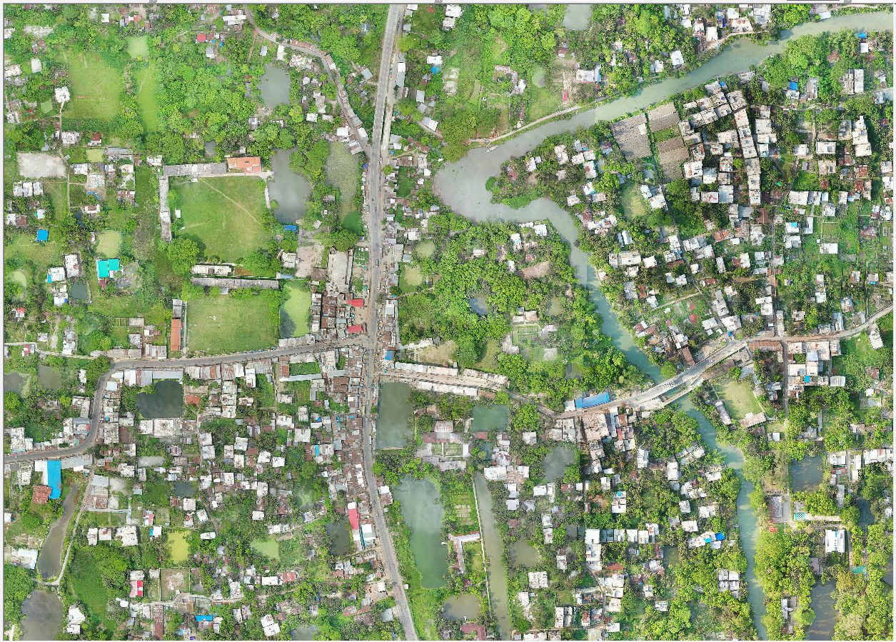
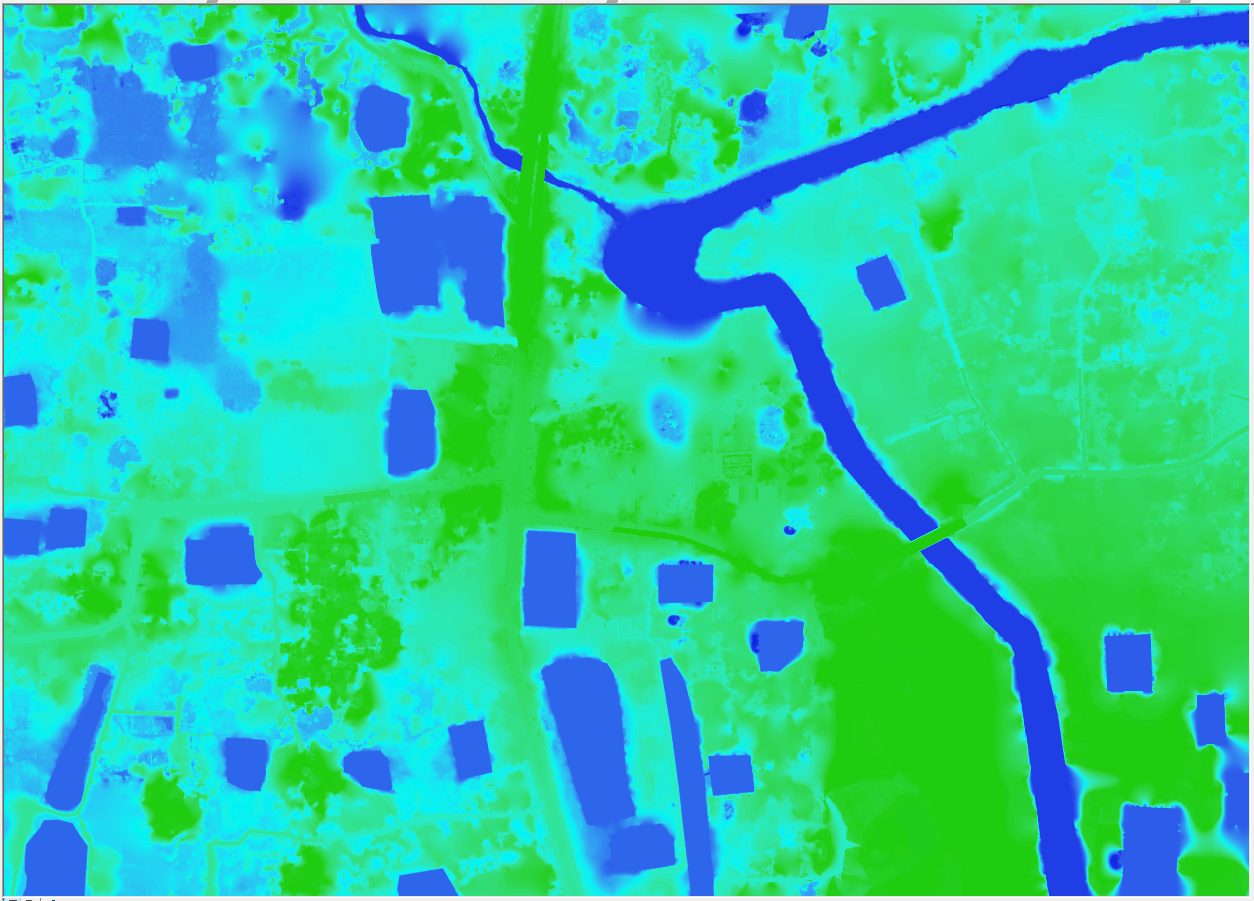
Orthomosaic, DSM, DTM, contours and point clouds from your UAV images. RTK/PPK and GCP workflows, accuracy report included.
from $75 per project
Georeferencing scans and CAD; vectorizing water, power, gas, telecom and heating networks to your schema, with topology QA.
per sheet or fixed quote
Ground, vegetation and building classification; DTM/DSM, contours and feature extraction with PDAL and LAStools.
fixed quote per dataset
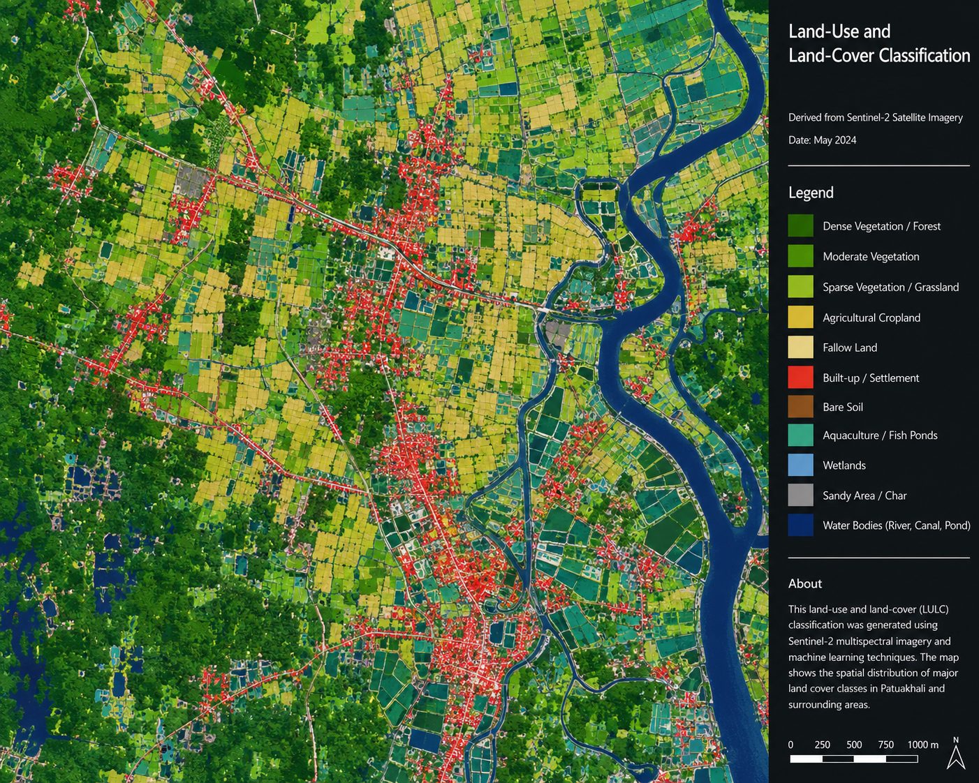
Land-cover change, accessibility and routing, flood and terrain analysis, publication-ready maps.
fixed quote per project
Manual ArcGIS/QGIS workflows turned into documented, reproducible Python pipelines: processing, analysis, routing and reports.
fixed quote per project
Textured 3D meshes and models of buildings and sites, built from your drone images.
fixed quote per project
Tools & Stack
Selected work
ADB-funded · 15 municipalities · 400,000+ images · orthomosaic, DSM, DTM
For CAAB · drone orthophotos · ArcGIS deep-learning crack detection
1,000–2,000 images each · aligned thermal + RGB orthomosaics · GIS packages
Multi-year program · water, power, gas, telecom, district heating · topology QA
US planning analysis · reproducible Python pipelines · method errors found and fixed
Python + OpenStreetMap routing · every postal code area · Excel dataset
Gournadi Municipality · 22 Coastal Towns program · RTK drone survey
Client feedback
“M. Mashrur Zaman has processed over 400,000 UAV images into survey-grade orthomosaics, DSMs, and DTMs across 15 municipalities for our ADB-funded coastal infrastructure program and brought that same precision to a specialized runway crack detection study—on schedule, and to a standard we could hand straight to our clients.”
Top Rated · 100% Job Success · 5.0 from 23 reviews
★★★★★
“Mashrur delivered high-quality processing work and demonstrated strong technical capability with photogrammetry workflows, including RGB and thermal orthomosaic generation.”
★★★★★
“Super easy to work with, would absolutely hire him for more work of this kind.”
★★★★★
“Great speed and timeliness and exactly what I asked for.”
About
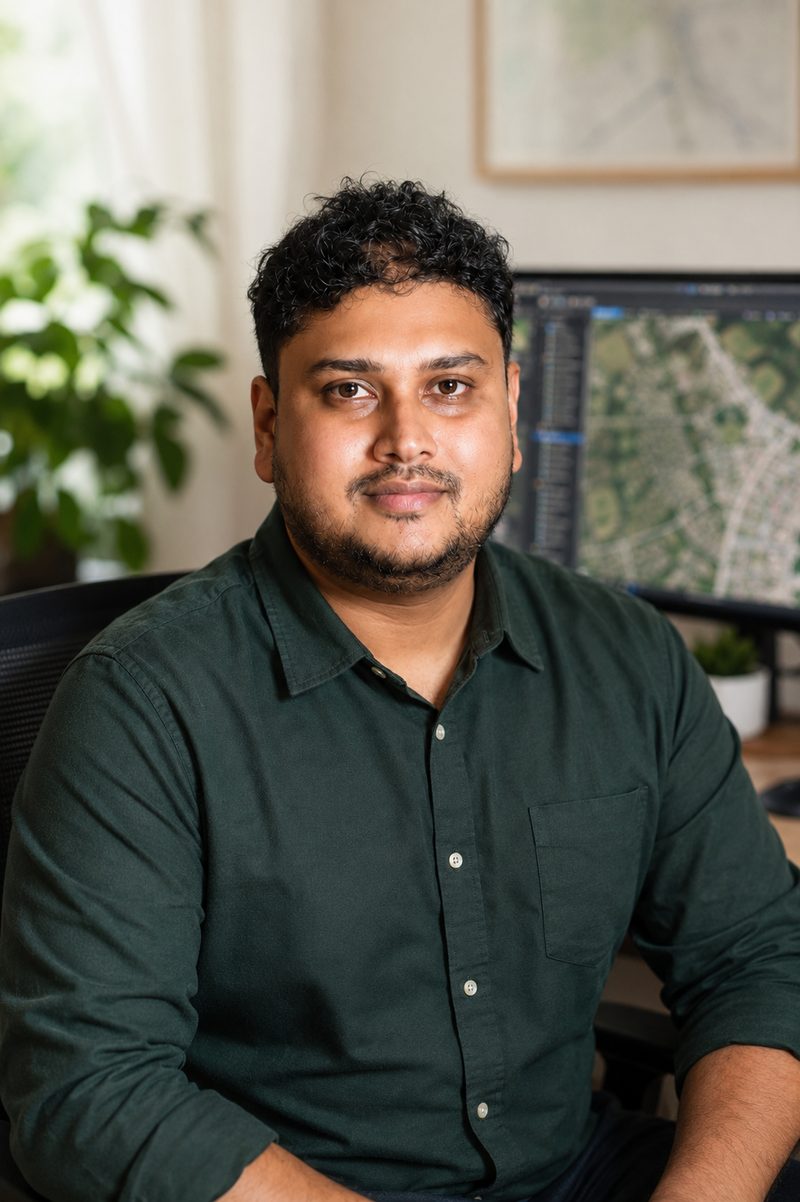
I'm a full-time freelance geospatial specialist based in Dhaka, Bangladesh, working with clients in the US, Europe and Asia. My background bridges Urban Planning (BSc) and Geographic Information Systems (MSc), with 7+ years of production work in remote sensing and photogrammetry.
I run large drone photogrammetry programs on a dedicated multi-machine setup, process LiDAR and point clouds, and build cadastre and utility datasets end to end, from raw data to client-ready deliverables. More and more of that work runs on Python automation, which keeps results consistent and turnaround short.
I work remotely, overlap comfortably with US business hours, invoice in USD, and treat every project like it's my own name on the deliverable — because it is.
Portfolio Gallery
Curriculum Vitae
Let's work
Tell me what data you have, the area or image count, the deliverables you need and your deadline. I'll reply within one business day with questions or a quote.