Preparing globe…

Dhaka, Bangladesh · Available for US & international clients

M. Mashrur Zaman GIS & Photogrammetry Specialist

GIS · Remote Sensing · Photogrammetry · GeoAI

I help engineering, infrastructure, and mapping teams turn drone, LiDAR, and imagery data into clean, production-ready geospatial deliverables — fast, accurate, and increasingly with AI-assisted workflows. 7+ years in production photogrammetry and remote sensing. I reply within one business day and work comfortable US-hours overlap.

↓ scroll to explore

About

Urban planner turned geospatial specialist
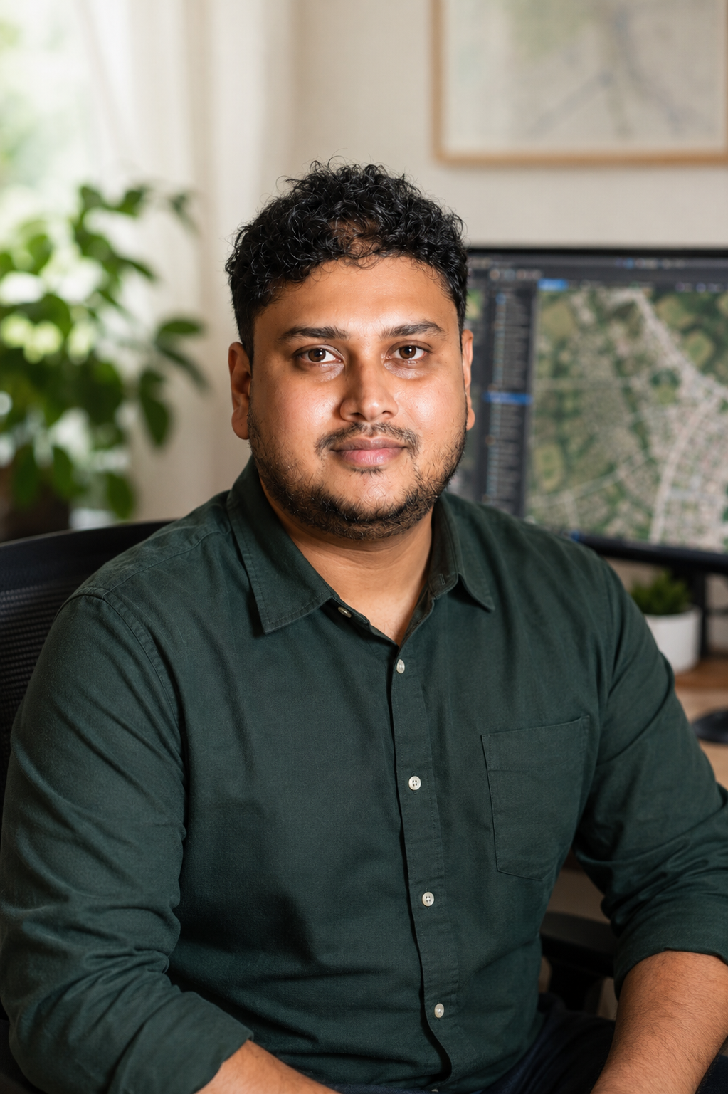
Portrait of M. Mashrur Zaman, GIS and photogrammetry specialist based in Dhaka

I help engineering, infrastructure, and mapping teams turn drone, LiDAR, and imagery data into clean, production-ready geospatial deliverables. I'm a full-time freelance geospatial specialist based in Dhaka, Bangladesh, working with clients across the US, Europe, and Asia. My background bridges Urban Planning (BSc) and Geographic Information Systems (MSc), with 7+ years of production work in remote sensing and photogrammetry.

I run large drone photogrammetry programs, work with LiDAR and point clouds, and build cadastre and utility datasets end to end — from raw capture to client-ready deliverables. Increasingly I ship GeoAI automation: segmentation models, classification pipelines, and natural-language spatial querying.

I work remotely, overlap comfortably with US business hours, invoice in USD, and treat every project like it's my own name on the deliverable — because it is.
Remote-first USD invoicing US-hours friendly 7+ years MSc GIS

Expertise

What I do, end to end


Tools & Stack

Production toolchain

Featured Projects

Case studies, pinned on the map

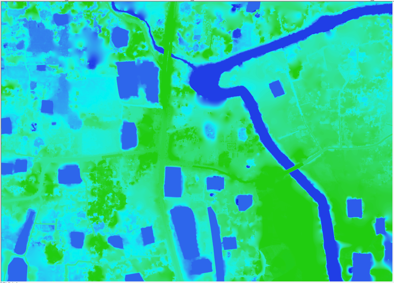
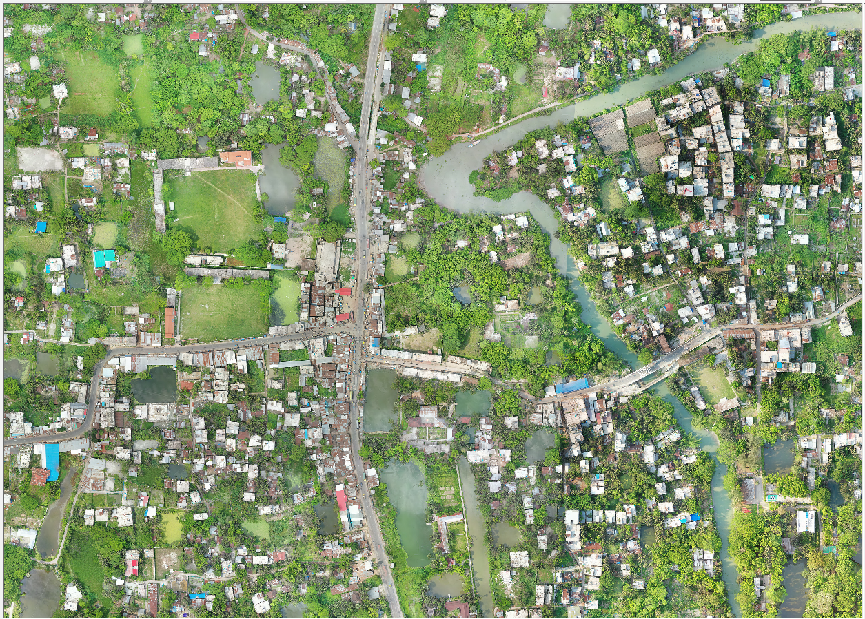
Orthomosaic Processing → DEM Generation

Processed orthomosaic
Raw imagery
Orthomosaic
DEM

3D Mesh · Ashulia, Dhaka

GeoAI Lab · in progress

What I'm building next

Curriculum Vitae

Experience & education

Experience

  • 2024 – Present · Freelance Geospatial Consultant — GIS, Remote Sensing, Photogrammetry & GeoAI for international clients.
  • Selected work · Processed UAV datasets across 12+ municipalities (including ~50,000 images) using multi-machine Agisoft Metashape pipelines; delivered utility cadastre networks (water, electric, gas, telecom, district heating), a 211-mile USGS-standard corridor strip map, Gaussian Splatting 3D reconstructions, and GeoAI workflows for building extraction, land-cover classification, and automation.
  • 2021 – 2024 · GIS Expert — Image Research & Consultancy Limited.
  • Selected work · Planned UAV missions and produced orthomosaics, DSMs, DTMs, point clouds, and 3D models using Pix4Dmapper and Agisoft Metashape; managed GCP workflows, QA/QC, Web GIS dashboards, and 3D visualizations.
  • 2019 – 2021 · GIS & Remote Sensing Analyst — Tiller Bangladesh.
  • Selected work · Processed UAV imagery into orthomosaics, performed GIS analysis using ArcGIS/QGIS, and developed Kobo Toolbox field data collection workflows integrated with GIS databases.

Education

  • MSc · Geographic Information Systems
  • BSc · Urban & Regional Planning

Core skills

Photogrammetry LiDAR Cadastre Hydrology LULC Gaussian Splatting GeoAI Python automation

Testimonials

What clients say

Let's work

Start a project

Send a short brief — dataset, area of interest, deliverables you need, deadline — and I'll come back within one business day (GMT+6, comfortable overlap with US business hours).

Your message will be sent securely.